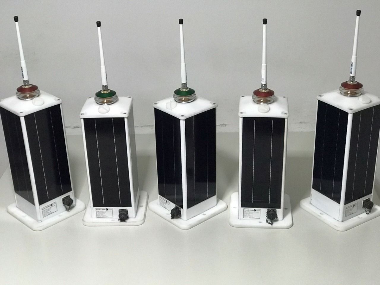
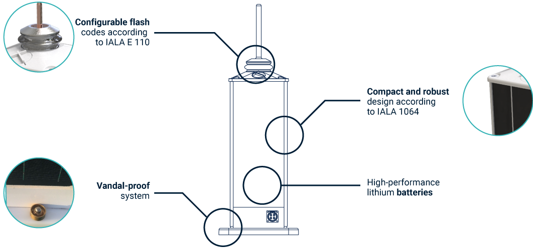
Acrux and Becrux are self-contained lanterns of marine applications, with a range of between 5 and 9 nautical miles (Acrux) and 3 and 5 mn (Becrux). Developed with state-of-the-art technology, which allows high flexibility in the configuration of requirements, according to their location and operating condition.
SELF-CONTAINED LANTERNS
BUOYS
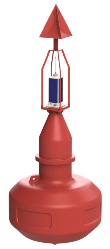
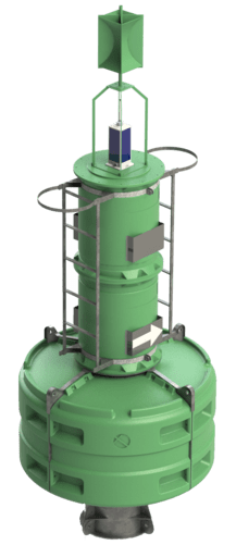
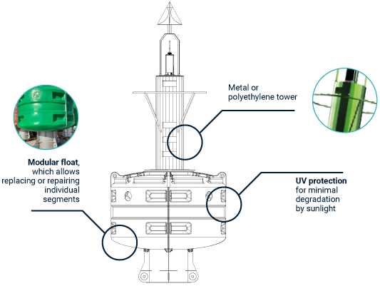
Our line of maritime signaling buoys is made of UV stabilized rotomolded polyethylene. Its design is simple, robust and lightweight, while offering high visibility.
CMB P1500
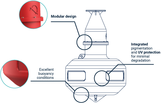
CMB P2200

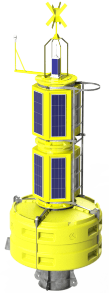
SMART BUOY
CMSB
P2200
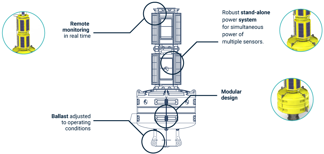
Designed specifically to implement hydrometeorological monitoring systems.
Processing and transmission of data by different means of communication. Integration with processing software.
MONITORING SOFTWARE (VTS)
GEOCrux
Remote monitoring software for vessels and Aids to Navigation (AtoN) with telemetry. Fleet tracking and maritime traffic. Integrated use of inland and satellite AIS technology, radar, CCTV, hydrometeorological data.
Robust system of visual and audible, assignable and traceable alarms.
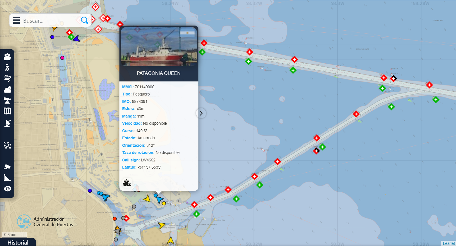

Position monitoring and status of AtoNs with AIS/Satellite
Maritime traffic monitoring
Satellite weather data
Bathymetry layer
Dashboards
FISHERIES MONITORING SOFTWARE
CruxCATCH
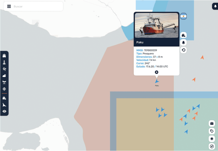
It allows maintaining an active monitoring of a fleet in its economic area or maritime domain, without any limitation of scope and without coverage gaps, 365 days a year.
It effectively controls compliance with restrictions, establishing geofence. It detects cooperative and non-cooperative vessels.
SATELLITE MESSAGING DEVICE
CruxSAT
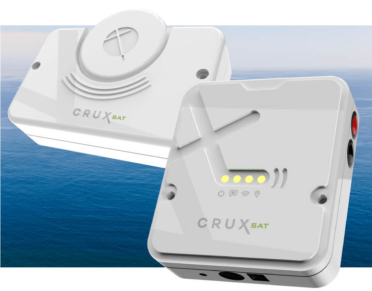
The evolution of fisheries monitoring. With global coverage 365 days a year, it visualizes the path and operating conditions in one click.
It has a CruxSAT CHAT text messaging system for land-sea communication in real time.
CONTACT
For more information about our products and services, fill out the form and we will contact you as soon as possible
